 |
| Image: View of Manhattan from Northern Historic District |
Governors Island opened to the public in 2010 but my first visits were made this summer. The island is shaped like an ice cream cone. Much of the time I spent on the island was in the ice cream section though I cycled the 2.2 mile perimeter of the island during Labor Day weekend.
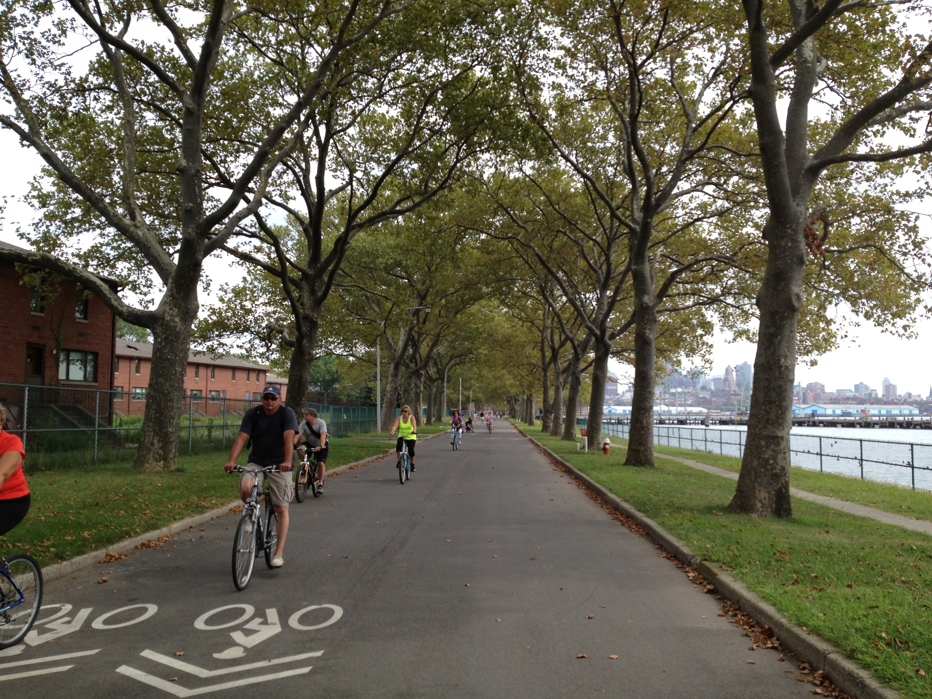 |
| Image: Perimeter bike lane on southern edge of the island |
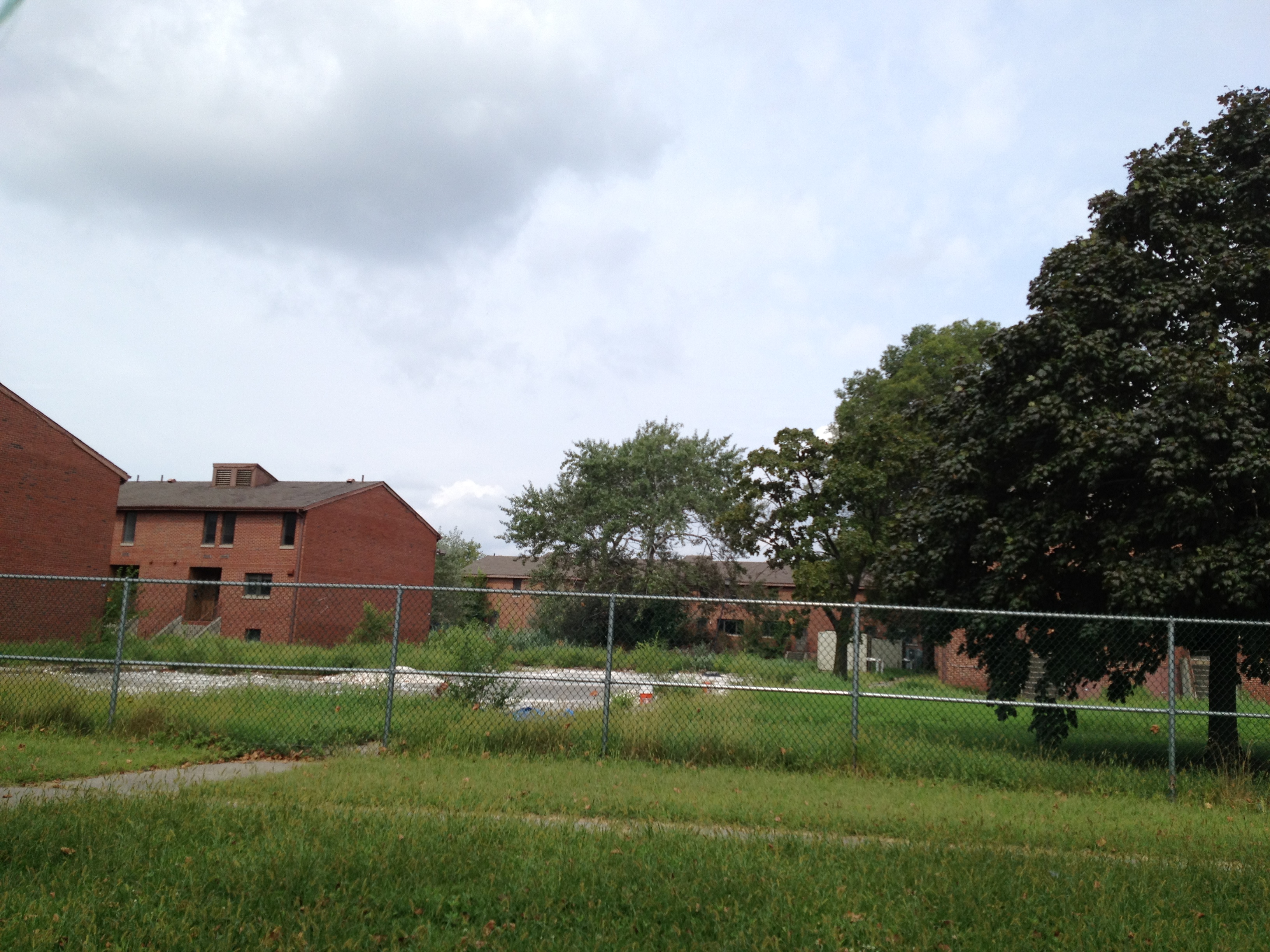
The island's Park and Public Spaces Master Plan by urban design & landscape architecture firm West8 received an ASLA 2012 Honor Award in the Analysis and Planning category. In the plan, the ice cream is the Historic Northern District while the perimeter is known as the Great Promenade. The demolition of former military housing in the southern section of the island began last week. Forty acres of park and public spaces will be created in the southern section of the island of which 30 acres will be completed in Phase 1. Brick and concrete rubble will be stored on-site and used in other phases of the master plan. One way in which this construction debris will be used is to create new topography on the island.
The Master Plan dramatically sculpts the flat and utilitarian southern part of the Island to create a landscape with a rich array of experiences and settings for plants and people. As the visitor traverses from north to south, an undulating groundplane choreographs the park experience through framed views, enclosure, and a sense of drama. The new topography curves and weaves, providing small high points within the landscape, making the experience of the heart of the Island seem vast and providing the visitor with an appetite for exploration and discovery. The topography culminates in four green hills from which never-before-seen 360o panoramic views of the Brooklyn and Manhattan skylines are revealed.
 |
| Image: Interior of the southern section of the island |
The island is populated with impressively-sized shade trees, especially in the Historic Northern District. It seems clear that the trees in this section of the island will be preserved, but what of the southern section? In the graphically-appealing plant communities document, "historic canopies" are only denoted in the northern section. I suppose the trees in the southern section would not survive the intensity of construction there. Fortunately, "[m]ore than 1,300 new trees will be planted" under the Master Plan though. I hope the downed wood will be appropriately recycled. Read Inhabitat's article about upcycling wood at the CitiLogs Mill in Newark and Alliance for Community Trees's reporting on converting wood waste to furniture and fuel.
P.S. Read the write-up of Hood Design Studio's Powell Street Promenade.
Comments
Post a Comment
Thank you for commenting on this post!